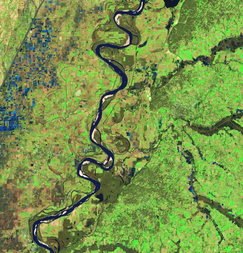
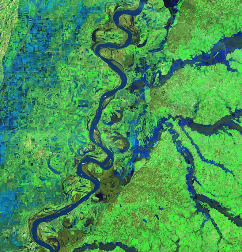
NASA has released new satellite images that show the extent of flooding following the powerful storm in the Southeast United States. NASA’s Landsat 9 satellite captured these before and after shots that vividly show the flooding.
National Weather Service reports that torrential downpours in many places accumulated up to 6″ of rain within 48 hours. This led to major river flooding.
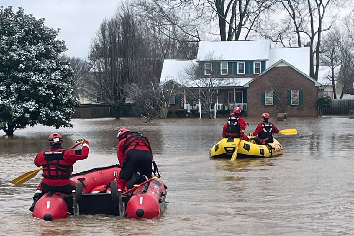
Tennessee authorities declared a State of Emergency after an Obion River levee rupture occurred in Rives. Rives is a small, 250-person town located near the river. Obion River floods have caused significant damage.
According to reports, 60 percent of Rives homes have been affected by the flooding. The flood damages were so severe that residents had to be evacuated into shelters set up in community centers and local schools.
A U.S. Geological Survey gauge located in Obion, about 10 miles south of Rives recorded water levels at 39.8 ft on 18 February. This is 4.8ft above the flood stage and highlights the size of the Obion River flooding.
Drag slider
compare photos


NASA explained: “The OLI-2, (Operational Land Imager-2), on Landsat 9, captured this false color image of swollen streams in western Tennessee from February 17 to January 24 2025. On the right is the area at that time on January 24 2025. on its Earth Observatory website. Satellite images provide a very clear and visual impression of the extent of flooding.
The band combinations in the images make it easier to discern between water, soil and vegetation” offering a clearer view of inundated regions and allowing expert to analyse the flood impact precisely.
After-flooding images show that there are many suspended sediments in the water due to flooding.
NASA also recognizes the rice fields that are covered in water across Missouri. This gives additional context to these satellite images.

NASA states that most of the flooding north of this area occurred. Cloud cover prevented satellites on the 17th of February from taking similar pictures.
Local residents may be facing new challenges in terms of weather. Forecasters say that a blast of freezing air is moving towards the south and could worsen their situation.
In addition, snow storms from the West may bring several inches of fresh snow to many of the areas that were affected by flooding in the Southeast United States. This will complicate recovery efforts.


